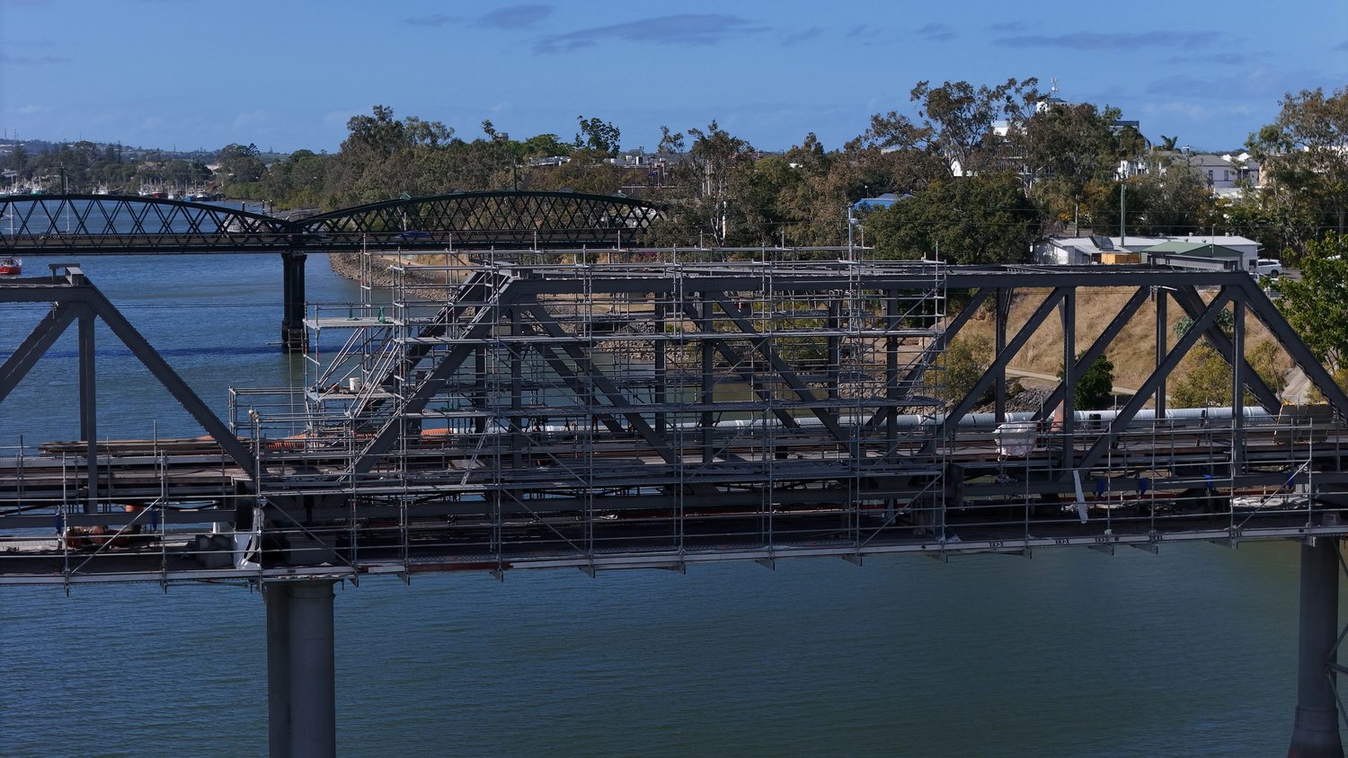
Six ways we capture your asset
One pilot plans the job, flies it and processes the data. Everything from a survey-grade digital twin to a monthly progress photo. Pick a service below for the full spec.
Services
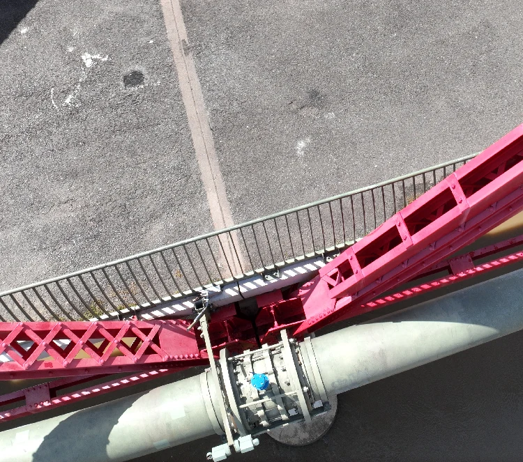
Photogrammetry & Digital Twins
LOD 400 digital twins, point clouds and BIM-ready 3D models with survey-grade accuracy. The flagship service everything else builds on.
Up to 1 cm + 1 ppm accuracy
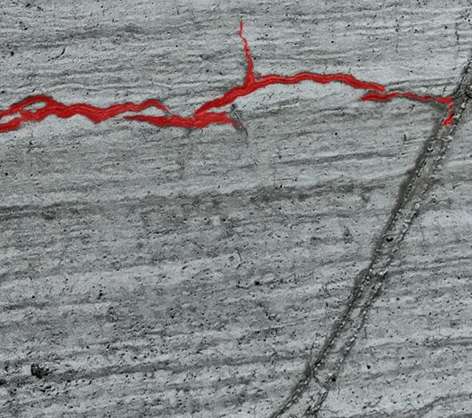
AI Defect Detection
Cracking, spalling and corrosion detected from 0.2 mm and geolocated on the 3D model: a defect register, not a folder of photos.
0.2 mm detection threshold
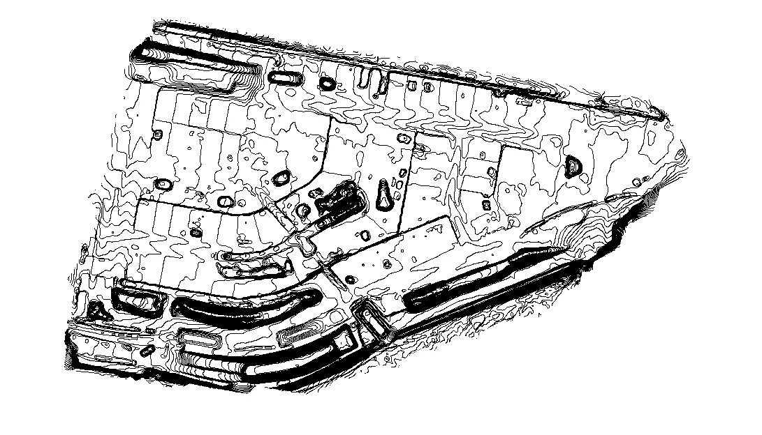
Site Surveys
RTK topographic surveys: contours, DTM/DEM and orthomosaics, CAD-ready for civil design and tenders.
Contours to your interval
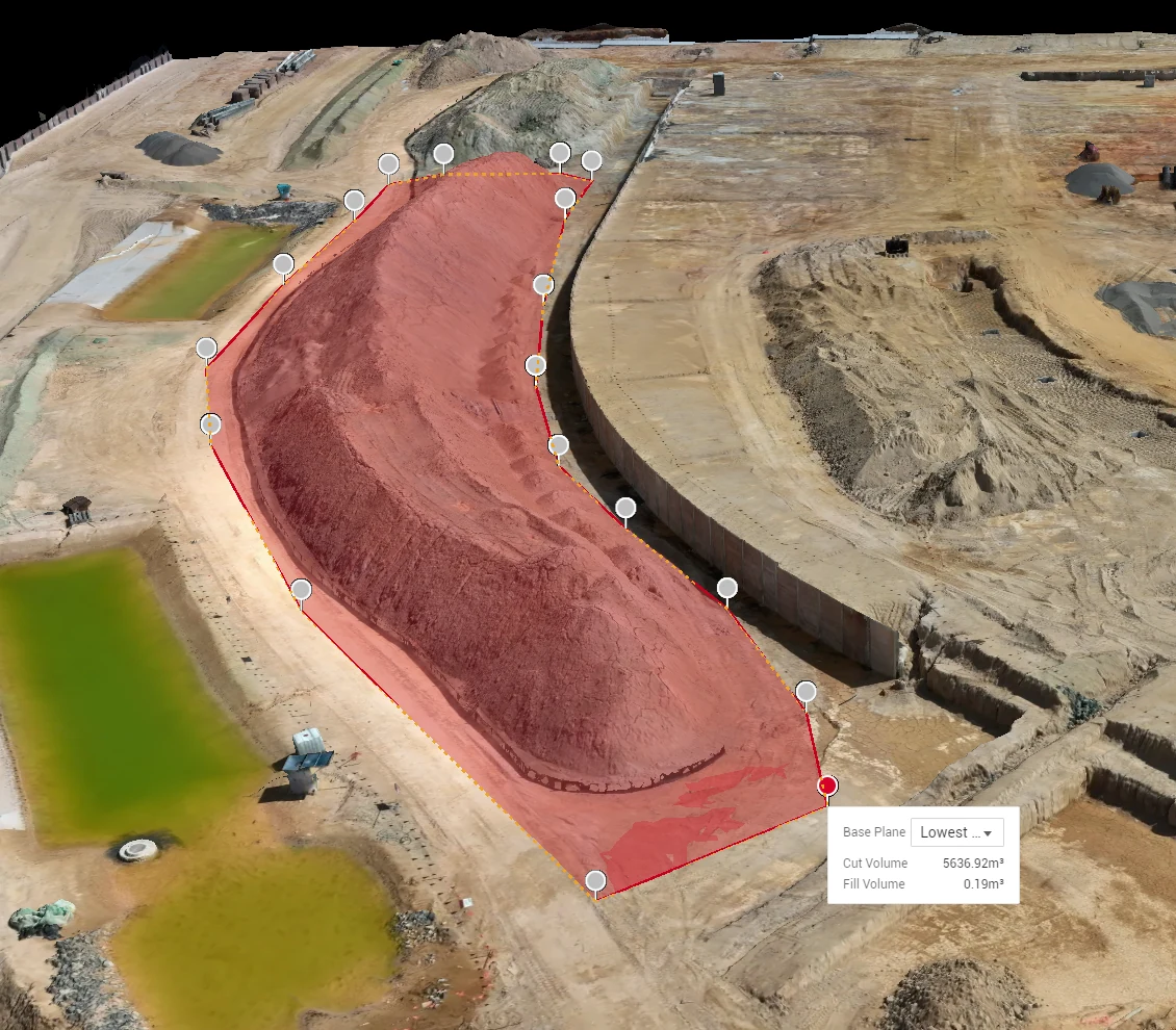
Volumetric Mapping
Stockpile and cut-fill volumetrics with survey-grade accuracy. No site shutdowns, and the report lands in time for end of month.
No site shutdown required
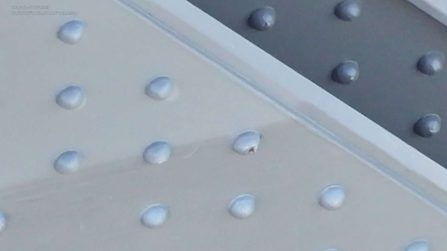
Visual Inspections
Close visual inspection of bridges, towers and dams, with no rope access, scaffolding or EWPs required.
Sub-millimetre GSD
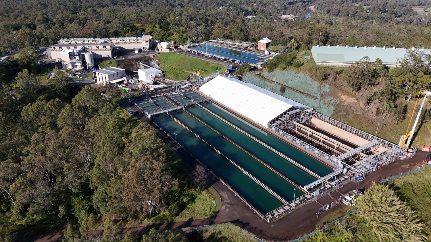
Photography & Videography
4K progress documentation from fixed waypoints, captured the same way every month for stakeholders and tenders.
4K/60 · RAW stills
Not sure which one you need?
Most projects start with photogrammetry or a site survey, then add defect detection where condition matters, volumetric mapping where stockpiles or earthworks need measuring, or visual inspection for close-range structural detail (see the drone inspections hub, or roof and facade inspections for that asset pair). New to this? Drone surveying in Brisbane covers what the data is, what it costs and how the accuracy is held. Send the asset and the outcome you need. Request a technical quote and we'll scope the right service mix, not just sell you the flagship.
Scope this for your site
Send the asset and the deliverable you need. A scoped method and quote come back within one business day.
HARRY BILLING — CHIEF REMOTE PILOT
0411 445 458
[email protected]
CASA ReOC #9398 · $28M PUBLIC LIABILITY